A good night's sleep, no where near as cold on the dirt floor as I would have thought! My altitude sickness was still going on, mainly now as a slight headache and no appetite. I had some eggs (for energy) and our guide suggested Tibetan bread. This amazing, freshly made flat bread, rises when put in a frying pan and when made this well, it's like a cross between a pancake and a doughnut..best thing ever!

Morning view in Chyako


Chyako kitchen and our host

Chortens leaving Chyako
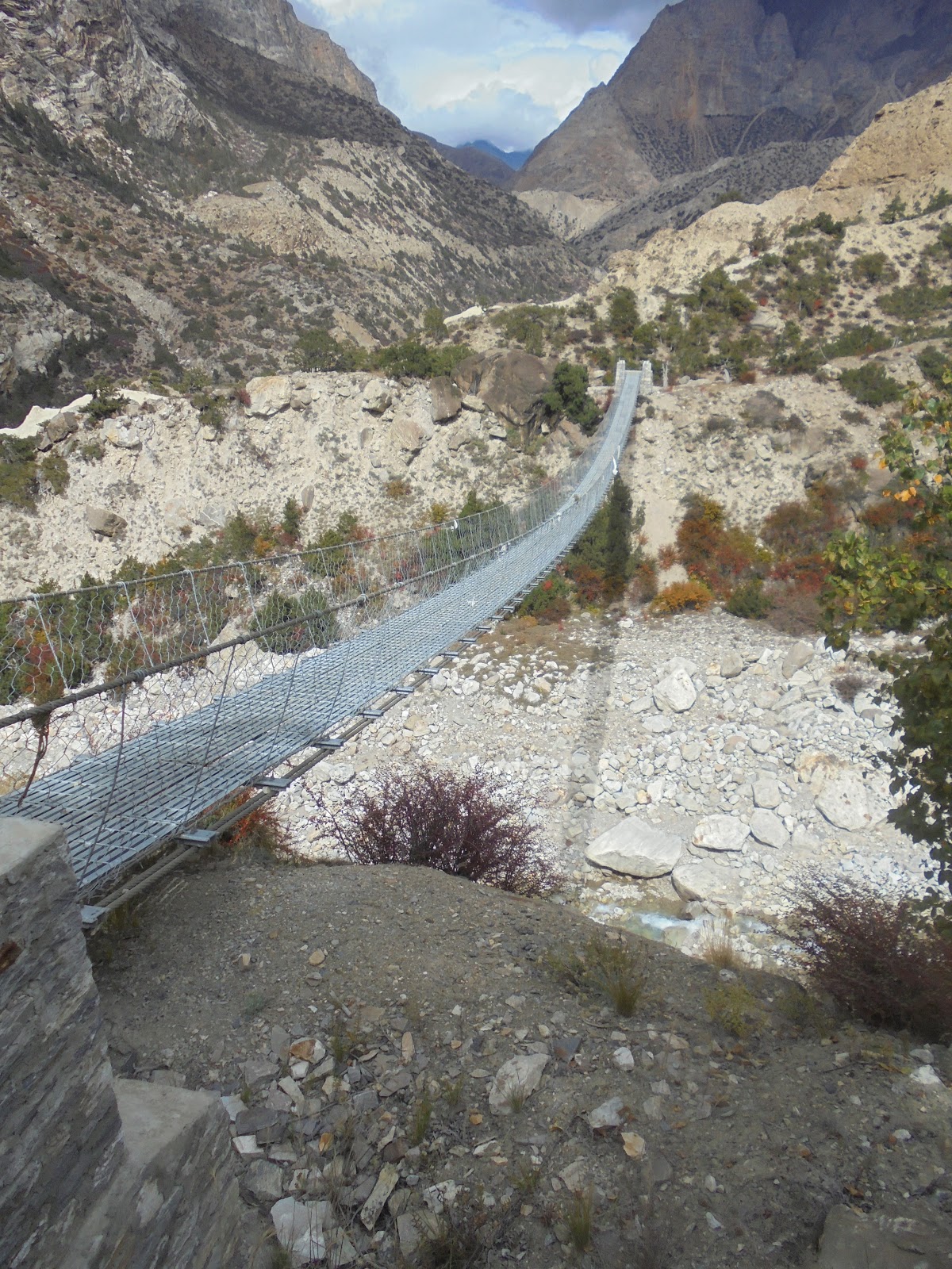
The plan for the day was to reach Phu, so we headed off asap. Yet again, we continued to climb, but there were a number of deep gullys, rivers and streams to cross, so it was more up and down and swing bridges. One very long climb brings you onto a ridge overlooking Kyang (3850m). Kyang is the last stop before entering the deep gorge that leads to Phu. Set on a flat peice of land, not unlike Chyako, it's also an almost abandoned settlement. The only structure of any note is a teahouse hiding in a small stone building. There is also a rather dirty campsite, but no other accommodation. The teahouse is basic and really just provides drinks and simple food, but it's a very welcomed stop and the last place for a warm tea before Phu. By now, the altitude sickness was really taking a toll on me, not just the headaches and tingling, but I found I was really struggling to take in enough air. Oxygen levels were down to 62%, and with every step forward, I was gasping for air. Although my pack weighed 15kg, it felt like 50kg! It was decided that we would consolidate our tweo packs into one, Jules would carry the pack ( he seemed fine at altitude, having come from over 5000m in India), and the remainder of the gear would be left at the hut in Kyang until our return trip.


Bridge before Kyang

Kyang


Cliff path after Kyang


Memorial to Canadian trekkers

Mountain deer
Once relieved of the pack, I had a new lease on life and the going became for more manageable. At the edge of the village, the cliffs close in and the valley becomes a deep gorge. The path is cut into the cliff, barely a meter wide and what looks like 100m above the roaring Phu River, there is no room for error or distraction. It's the last place you'd want to meet a herd of yaks or a train of pack ponies.
At the end of this section of path there is a newly constructed memorial to three Canadian trekkers killed in an avalanche on the path, exactly one year ago. A very sobering reminder of the risks of this trek. Only hours earlier, we'd passed some porters carrying packs down from Kyang, these packs had belonged to the Canadian trekkers, left like our pack in Kyang, awaiting a return that would never come. We stopped and paid our respects, before silently pushing on, now even more aware of the dangers. The path now narrowed to little more than a foot wide as it crossed the avalanche site, about 150m in length, loose gravel and rock spread out above and below us, one false step and you'd tumble, unstoppable, into the river far below, possibly triggering a rock slide. Normally you'd be crazy to cross, but up here, under these circumstances, it's just another section of path, you assess it and move forward.
Once passed this dangerous section, the path drops down to the river and there is an area of ruins, maybe the remains of sheep header's huts and sheep pens. The wind had started to pick up and it was getting very cold, small snow flecks filled the air. It was time for lunch, Jules and Lille lit the stove and made themselves noodles. I huddled in the shelter of a ruined wall, still feeling the altitude sickness. A group of locals returning to Phu, passed by and we joined with them for the final hike to Phu, better to be with a larger group in this region.
Once passed this dangerous section, the path drops down to the river and there is an area of ruins, maybe the remains of sheep header's huts and sheep pens. The wind had started to pick up and it was getting very cold, small snow flecks filled the air. It was time for lunch, Jules and Lille lit the stove and made themselves noodles. I huddled in the shelter of a ruined wall, still feeling the altitude sickness. A group of locals returning to Phu, passed by and we joined with them for the final hike to Phu, better to be with a larger group in this region.
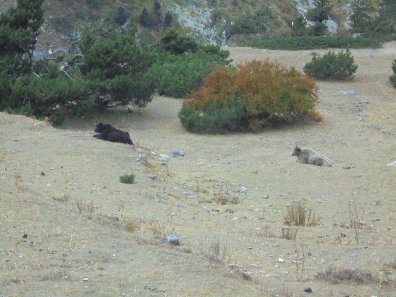
The area is now devoid of all trees, there is minimal plant life and not much in the way of birds or animals. We saw some deer, grazing on an impossibly steep slope, and if you look carefully, you can see small flocks of blue sheep, but nothing else. The only sounds, are the echo of the Phu River as it cuts it's way through the rock, your footsteps trudging the path, and my laboured breathing in the very thin air.


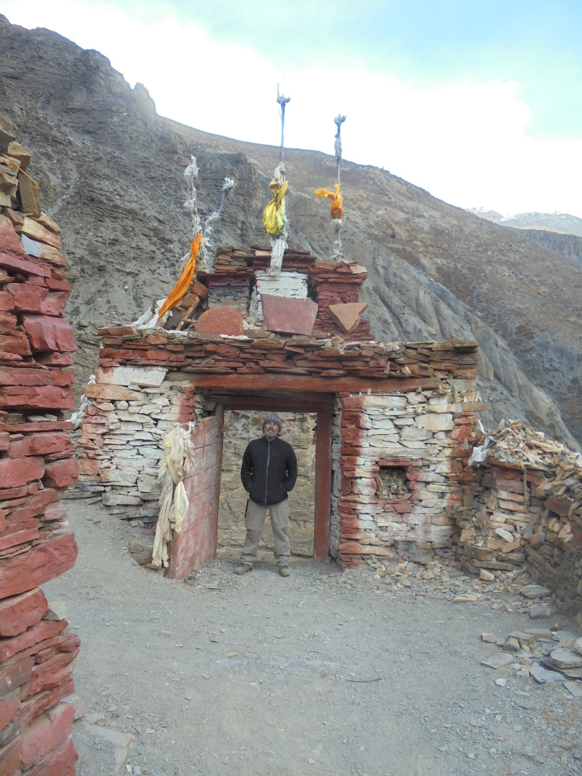
At the end of the river path, you cross a stream and there before you is a very, very steep zig zag path that leads to the entrance gate to the Phu valley. With a deep breath, we started the climb, it seemed to go on forever. About halfway up, we had to make way for a pony team that was labouring it's way up, loaded with supplies for Phu. Staggering to the top (4020m), we were rewarded with amazing views up and down the valley. The gate and Mani wall are incredibly old, maybe 700 years, and it's easy to imagine a time not that long ago when this gate was closed at night to keep out the unwanted.

Phu gate


Pony pack team


Rock in front is the same shape as the mountains behind


Ancient chortens just before Phu

Our first view of Phu


Ahhhhh, Phu

Plough in Phu style
Slowly the rewards of the trek start to reveal themselves, ancient chortens appear, a ruined fortress across a narrow gorge, stone bridges, and finally, our first view of Phu (4100m). Sitting on a small hill in a wide valley, surrounded by steep ranges that lead to snow capped mountains, glaciers and tiny trails to Tibet, Phu is every thing a traveller looks for but never expects to find. We crossed one last swing bridge, passed some terraced fields, still being cultivated by buffalo and wooden plough, and then we were in Phu.
There is only a few, very basic places to stay. We stayed at the first place, it looked the cleanest and had a dinning room, but not much else. Our tiny room was lined with plastic, an attempt to seal it from the cold. It was too late to explore the town, and of course there is no lighting. Exhausted we fell into bed, and slept surprisingly well.

Our home in Phu